Property Record
57 Stirling Rd, Warren, NJ 07059


NEARBY LISTINGS FOR SALE OR LEASE
Property Detail
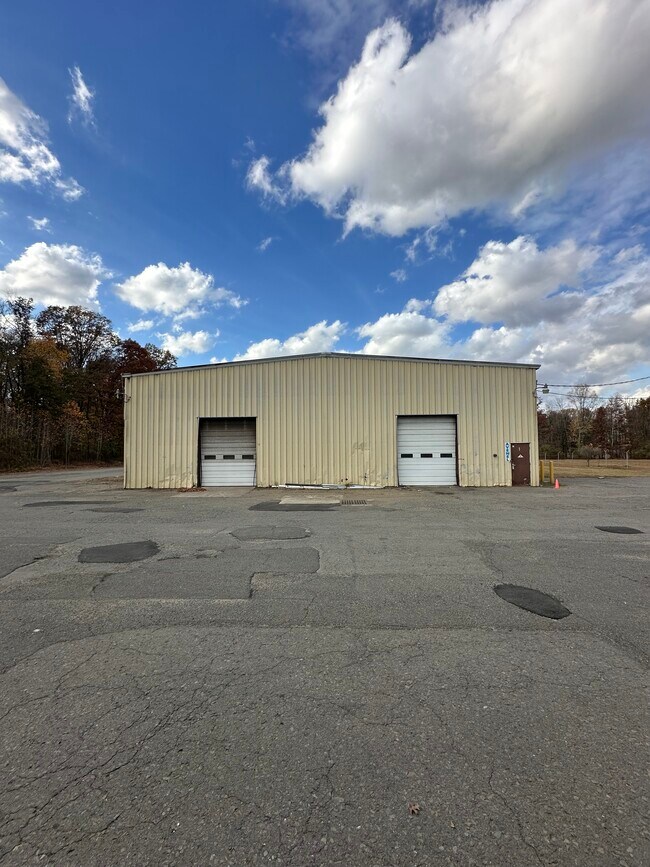
57 Stirling Rd
20-00096-0000-00039-03
Somerset
Vacantlandnec
New Jersey
AE
39.3
34035C0088E
12.78 AC
2024
Somerset
2025
Northern New Jersey
052201
Newark, NJ-PA
DEMOGRAPHICS near 57 Stirling Rd
1 Mile
3 Mile
5 Mile
2024 Total Population
3,420
49,632
194,954
2029 Population
3,475
49,344
193,176
Pop Growth 2024-2029
+ 1.61%
(0.58%)
(0.91%)
Average Age
44
41
40
2024 Total Households
1,150
16,849
64,776
HH Growth 2024-2029
+ 1.57%
(0.58%)
(0.92%)
Median Household Inc
$156,902
$122,611
$109,618
Avg Household Size
2.90
2.90
2.90
2024 Avg HH Vehicles
2.00
2.00
2.00
Median Home Value
$719,548
$585,878
$473,732
Median Year Built
1981
1964
1960
Nearby Places
Map Layers
Map Styles
 Street
 Aerial
- Restaurants
- Banks
- Shops
- Fitness
- Groceries
PUBLIC TRANSPORTATION
COMMUTER RAIL
Stirling (Morris & Essex Gladstone Branch - NJ Transit Commuter Rail (NJ Transit))
DRIVE
WALK
Distance
Stirling (Morris & Essex Gladstone Branch - NJ Transit Commuter Rail (NJ Transit))
8 min
3.2 mi
Gillette (Morris & Essex Gladstone Branch - NJ Transit Commuter Rail (NJ Transit))
DRIVE
WALK
Distance
Gillette (Morris & Essex Gladstone Branch - NJ Transit Commuter Rail (NJ Transit))
8 min
3.3 mi
AIRPORT
Newark Liberty International
DRIVE
WALK
Distance
Newark Liberty International
30 min
21.5 mi
LaGuardia
DRIVE
WALK
Distance
LaGuardia
65 min
40.7 mi
Trenton Mercer
DRIVE
WALK
Distance
Trenton Mercer
71 min
42.2 mi
Freight Ports
Maher Terminal
DRIVE
WALK
Distance
Maher Terminal
35 min
22.6 mi
SALE & LEASE HISTORY
LISTING DATE
SALE/LEASE

Nov 04, 2024
For Lease
Mar 02, 2023
For Lease
Feb 08, 2023
For Lease
Nearby Properties
Address
Land Use
TOTAL SIZE
Lot Size
Zoning
Address
Land Use
TOTAL SIZE
Lot Size
Zoning
20.08 AC
RML1
Address
Land Use
TOTAL SIZE
Lot Size
Zoning
52.31 AC
OR
Address
Land Use
TOTAL SIZE
Lot Size
Zoning
26.87 AC
H-D
Address
Land Use
TOTAL SIZE
Lot Size
Zoning
27.70 AC
Address
Land Use
TOTAL SIZE
Lot Size
Zoning
34.27 AC
R65
Address
Land Use
TOTAL SIZE
Lot Size
Zoning
67.22 AC
R65
Address
Land Use
TOTAL SIZE
Lot Size
Zoning
23.93 AC
B2
Address
Land Use
TOTAL SIZE
Lot Size
Zoning
Address
Land Use
TOTAL SIZE
Lot Size
Zoning
15.79 AC
H-D
Address
Land Use
TOTAL SIZE
Lot Size
Zoning
18.66 AC
CR
Address
Land Use
TOTAL SIZE
Lot Size
Zoning
19.84 AC
Address
Land Use
TOTAL SIZE
Lot Size
Zoning
16.97 AC
Address
Land Use
TOTAL SIZE
Lot Size
Zoning
8.64 AC
AH-4
Address
Land Use
TOTAL SIZE
Lot Size
Zoning
2,800 SF
16.73 AC
R20V
Address
Land Use
TOTAL SIZE
Lot Size
Zoning
13.83 AC
CB
Address
Land Use
TOTAL SIZE
Lot Size
Zoning
19.84 AC
H-D
Address
Land Use
TOTAL SIZE
Lot Size
Zoning
30.40 AC
PR
Address
Land Use
TOTAL SIZE
Lot Size
Zoning
21.53 AC
H-D
Address
Land Use
TOTAL SIZE
Lot Size
Zoning
8.09 AC
B3
Address
Land Use
TOTAL SIZE
Lot Size
Zoning
122,820 SF
14.65 AC
H-D
Address
Land Use
TOTAL SIZE
Lot Size
Zoning
30.84 AC
OR
Address
Land Use
TOTAL SIZE
Lot Size
Zoning
40.36 AC
OR
Address
Land Use
TOTAL SIZE
Lot Size
Zoning
23.45 AC
RHC
Address
Land Use
TOTAL SIZE
Lot Size
Zoning
11.20 AC
Address
Land Use
TOTAL SIZE
Lot Size
Zoning
0.39 AC
R5
Address
Land Use
TOTAL SIZE
Lot Size
Zoning
11.02 AC
Address
Land Use
TOTAL SIZE
Lot Size
Zoning
12.06 AC
Address
Land Use
TOTAL SIZE
Lot Size
Zoning
40.73 AC
OR
Address
Land Use
TOTAL SIZE
Lot Size
Zoning
Address
Land Use
TOTAL SIZE
Lot Size
Zoning
1,950 SF
10.56 AC
CR
The World's #1 Commercial Real Estate Marketplace
Connect with us
© 2025 CoStar Group
The information above has been obtained from sources believed reliable. While we do not doubt its accuracy we have not verified it and make no guarantee, warranty or representation about it. It is your responsibility to independently confirm its accuracy and completeness. Any projections, opinions, assumptions, or estimates used are for example only and do not represent the current or future performance of the property. The value of this transaction to you depends on tax and other factors which should be evaluated by your tax, financial, and legal advisors. You and your advisors should conduct a careful, independent investigation of the property to determine to your satisfaction the suitability of the property for your needs.